River Ugie Sea Trout Fishing

Needle Tubes and Tube Flies

Salmon Fishing

Trout Fishing

Sea Trout Fishing

Fishing Articles

Fishing Maps

Fly Tying

Site Contents

Home

Salmon Fishing Scotland

Salmon - Where to Fish

Salmon Fishing Tackle

Salmon Fishing Tactics

Salmon Flies

Trout Fishing Scotland

Trout- Where to Fish

Trout Fishing Tackle

Trout Fishing Tactics

Trout Flies

Sea Trout Fishing Scotland

Sea Trout - Where to Fish

Sea Trout Tackle

Sea Trout Tactics

Sea Trout Flies

Fishing Maps of Scotland

Fishing Articles

Fly Tying

Fishing Photographs

Book of Flies

Fishing Diary

Where to Stay

Fishing Clubs

Fishing Tackle Shops

Fly Fishing Knots

Fishing Weather

Fishing Books

Salmon Recipes

Flies Online

Links

Sitemap


Slim stainless steel salmon and sea trout flies


Hardy Salmon Reels


Summer Grilse


River Spey Salmon Fishing


Cascade Salmon Flies


Spey Casting


Salmon Tube Fly


September Salmon


Highland Salmon Fishing


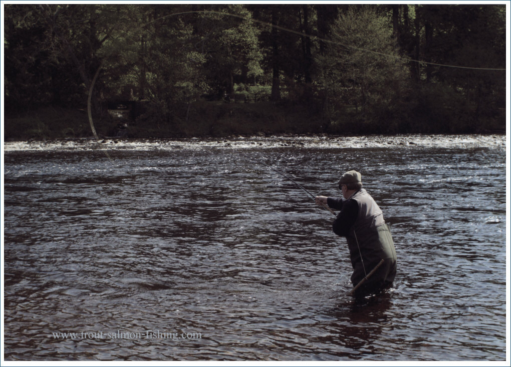
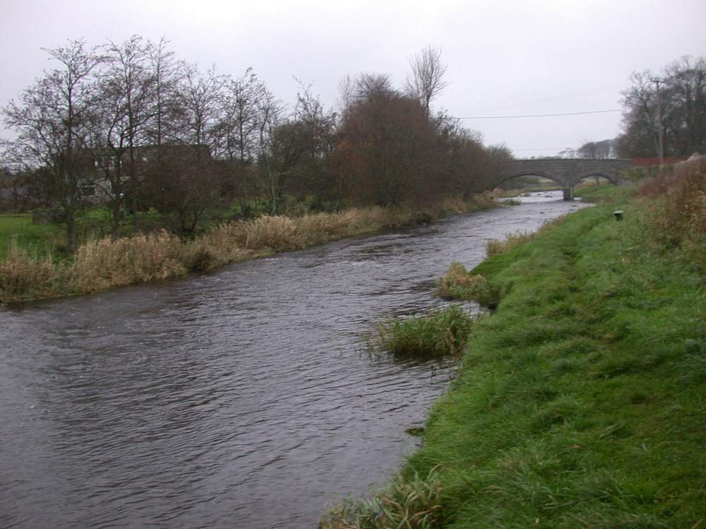
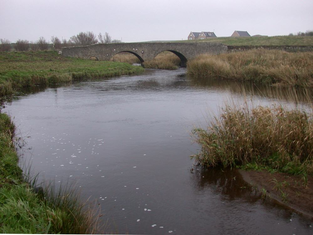
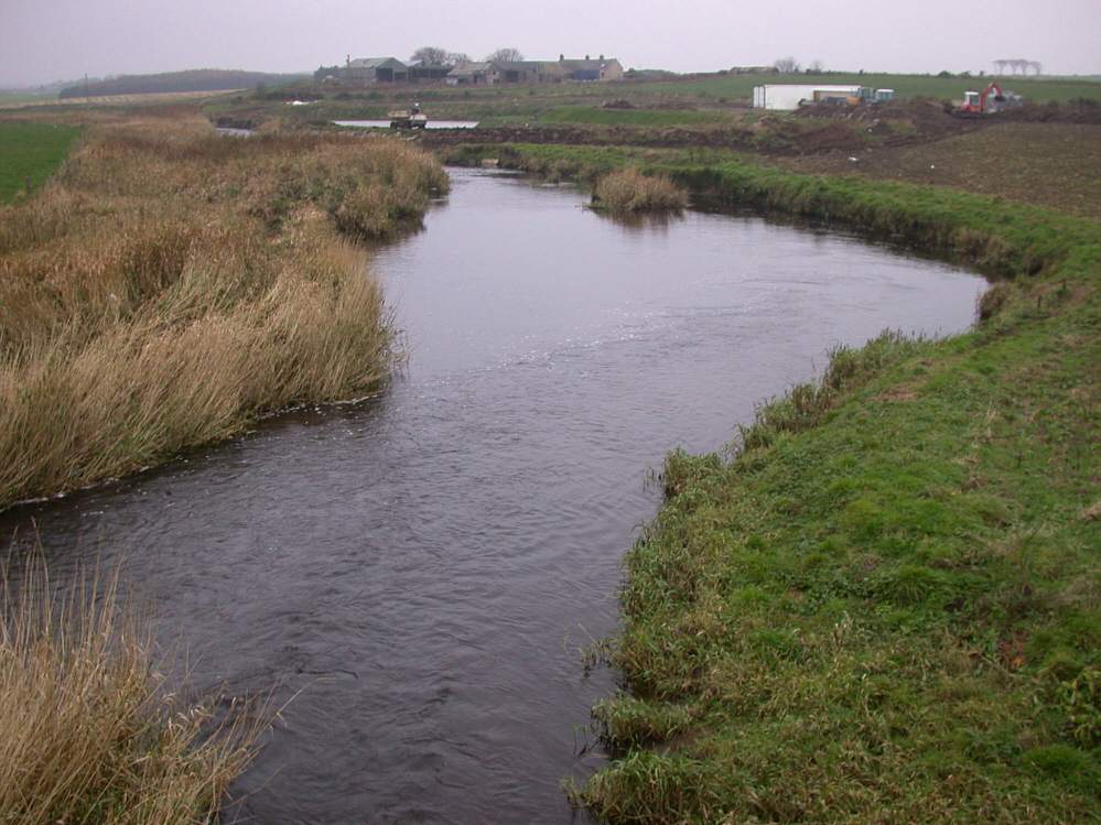
Sea Trout Fishing on River Ugie
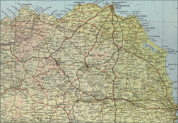
 Scotland

O. S. Map 30

The River Ugie is formed from the North Ugie and the South Ugie, which is impounded in its upper course to form Fedderate Reservoir. The two streams meat east of Longside and enter the sea at 
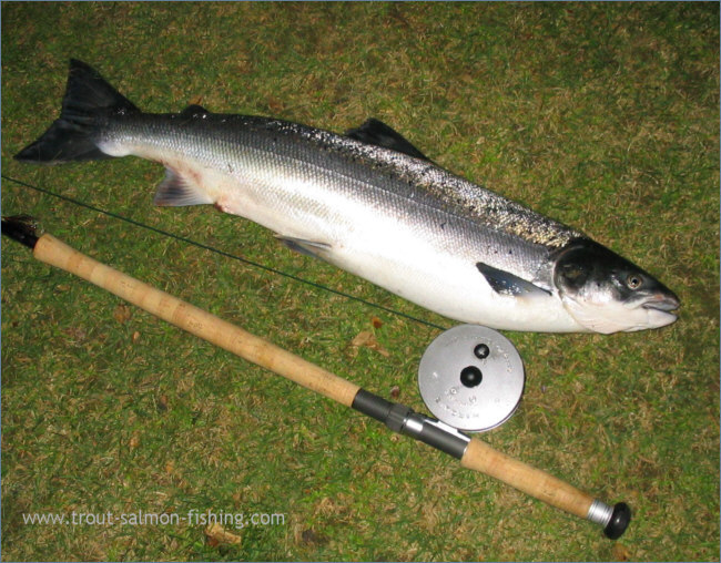
Peterhead. The River Ugie is a worthwhile sea trout river with a good number of salmon caught too.

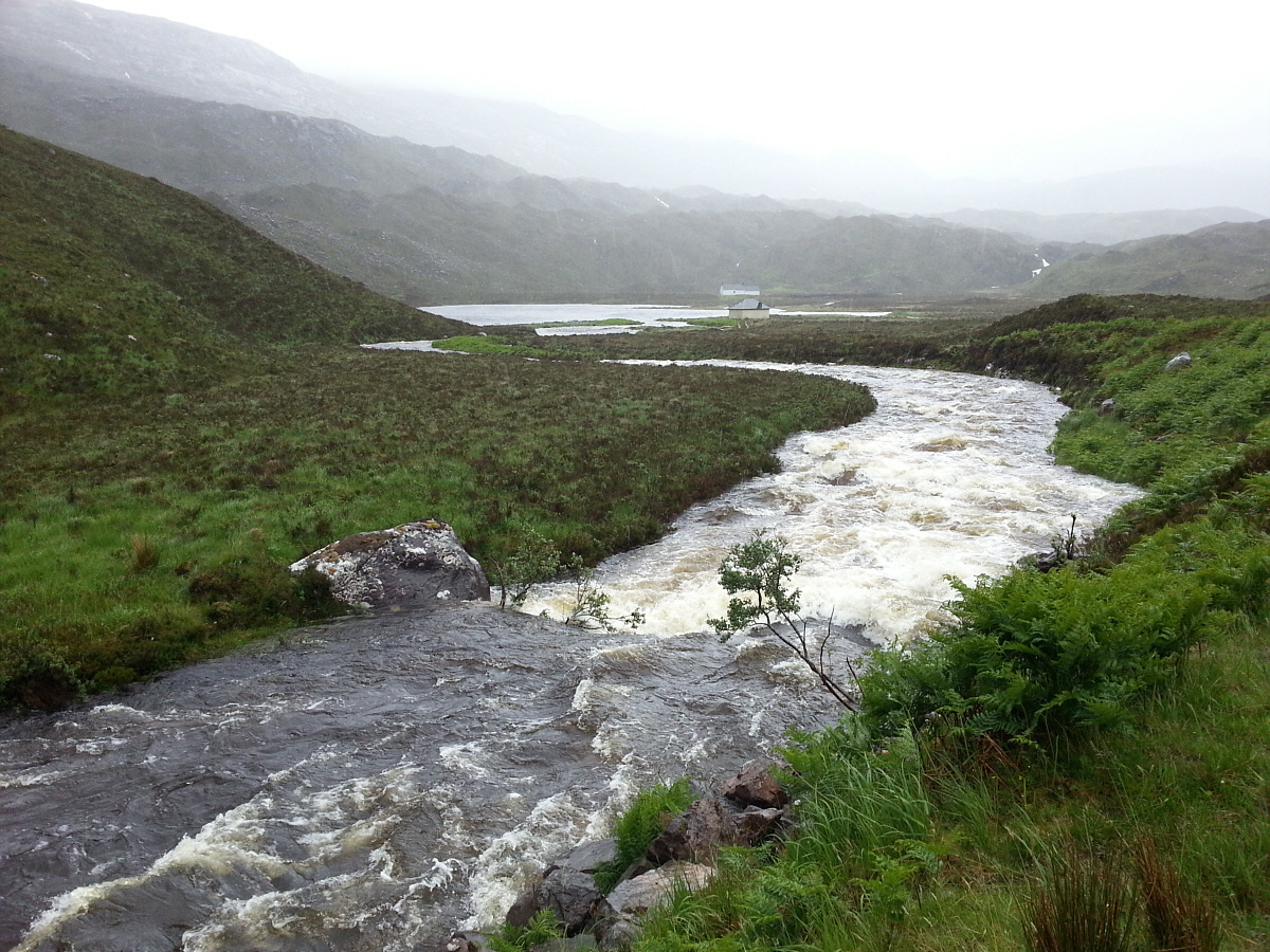
Very much a spate river with its flow affected by land drainage, the main runs of sea trout appear in June, with salmon arriving later in the season, usually September and October. 
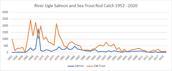
Once a noted sea trout river, the Ugie produces in the order of 100 salmon and 300 sea trout in a season, with salmon averaging eight pounds and sea trout two and a half pounds.

The river Ugie fishery is regulated by a local angling association, from which both season permits and day permits are available. The main river, 
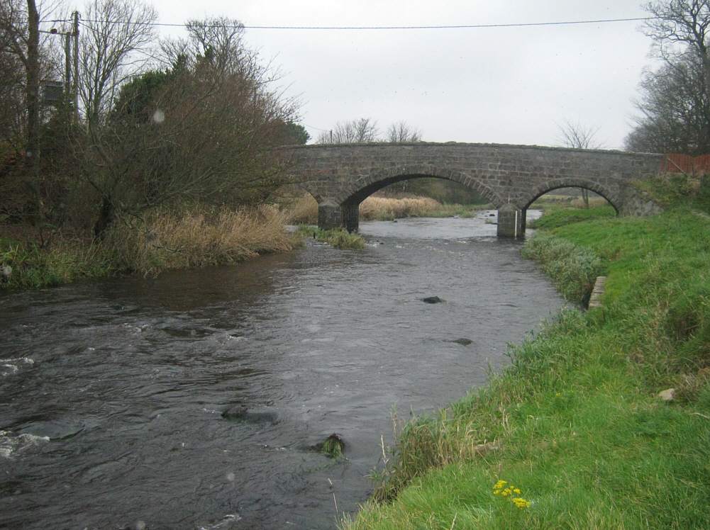
which was in the past one of the most prolific sea trout rivers in Scotland, can be fished from the village of Longside east to the golf course bridge, near to the mouth of the river, for the most part from either bank. Access to the river is available from a number of parking areas made available by local farmers.  
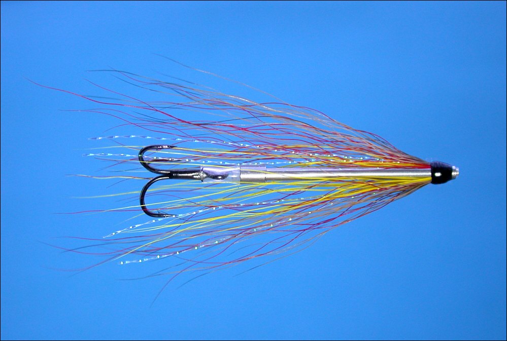
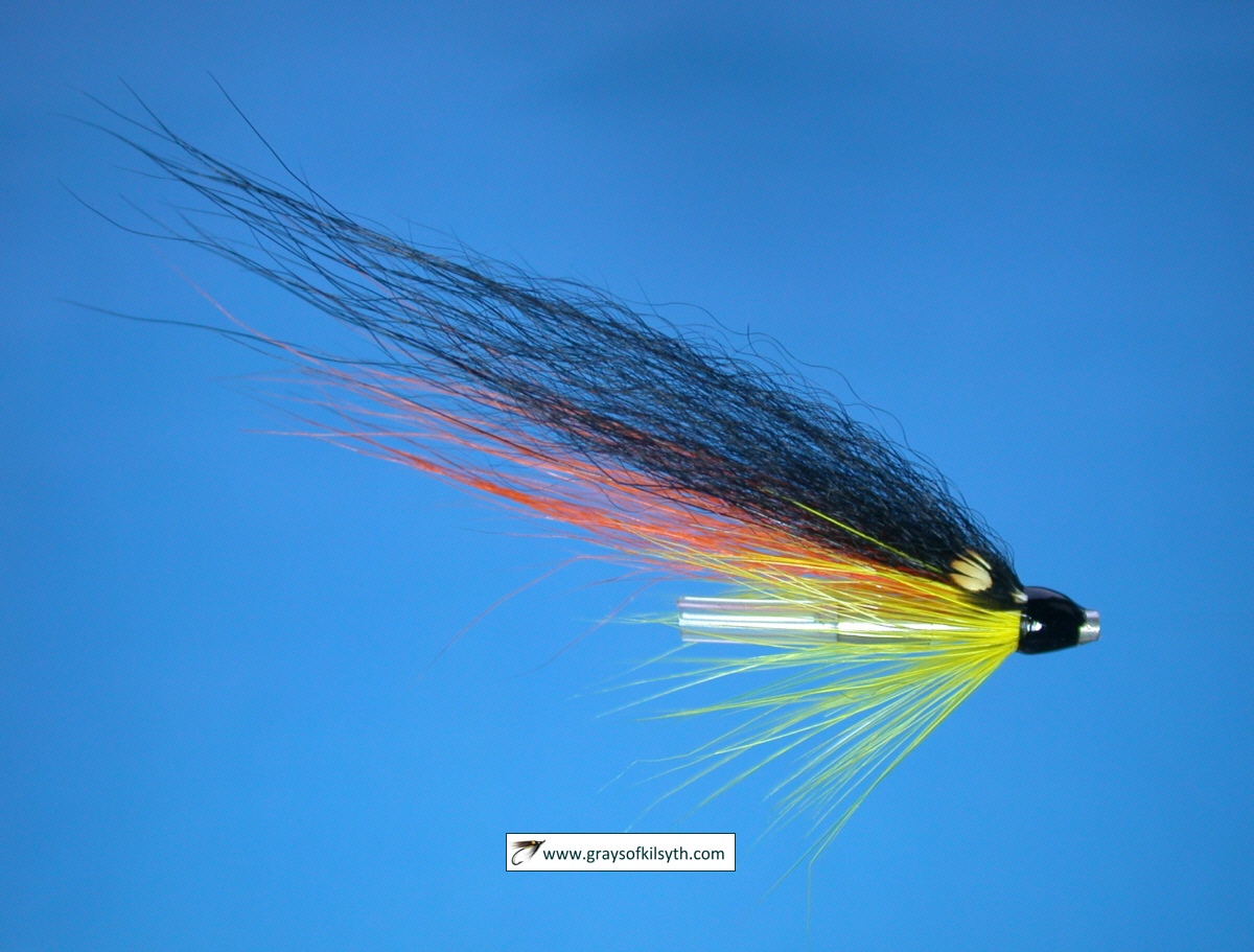
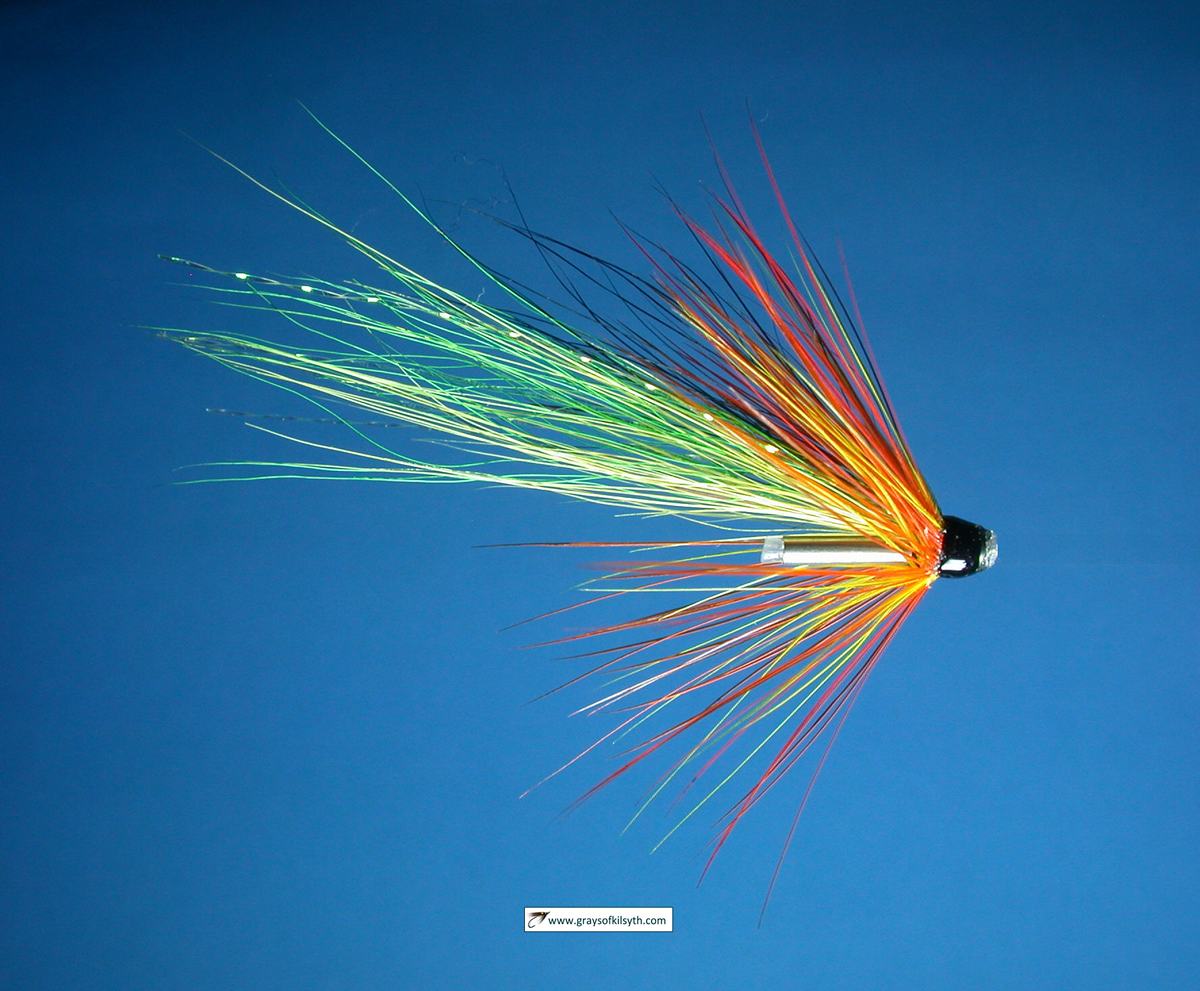
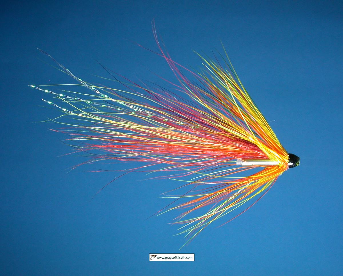
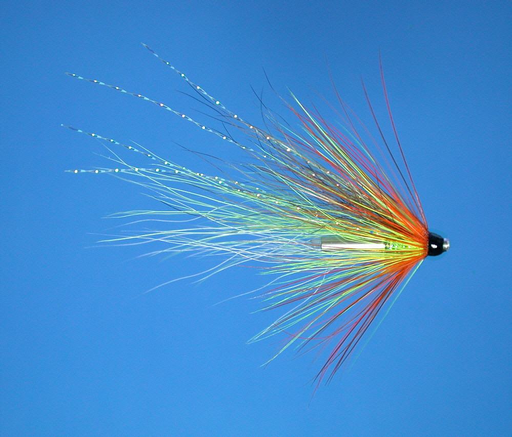
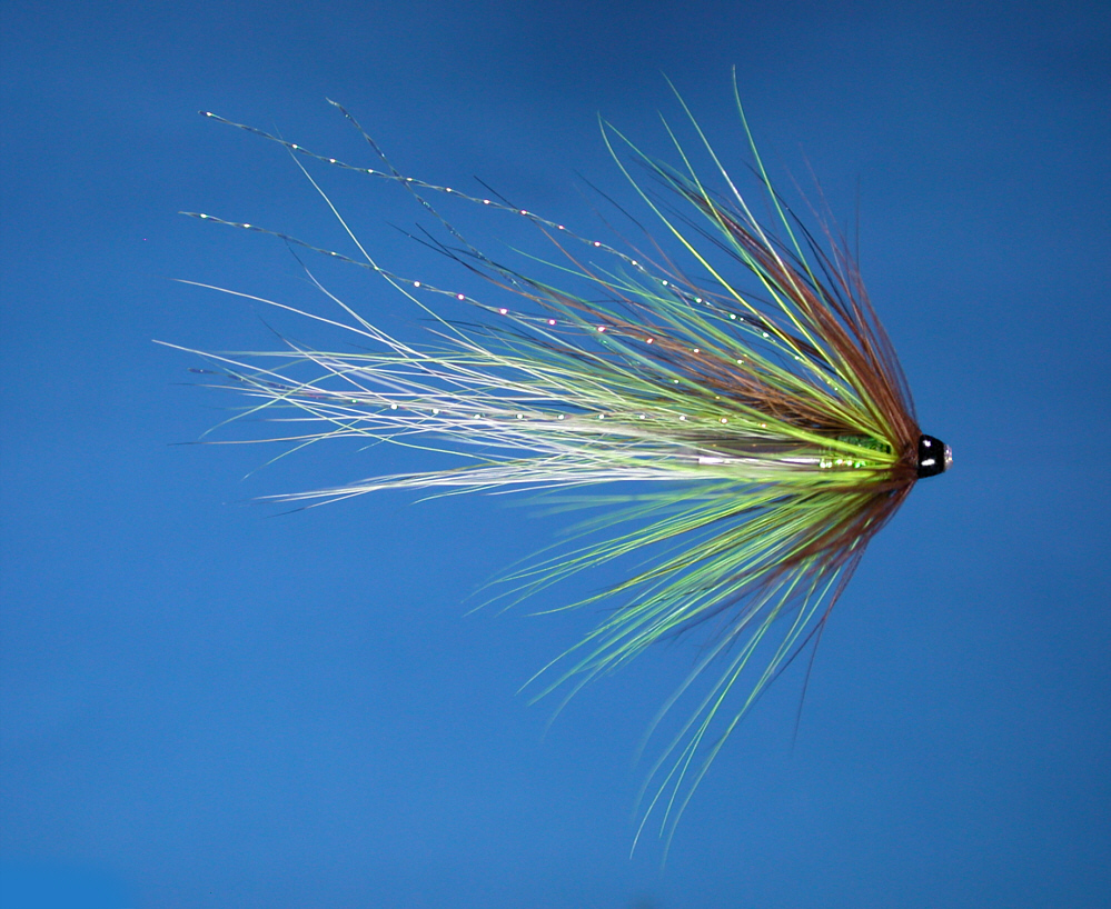
Scottish Sea Trout Flies

flies by Grays of Kilsyth

Book - Sea Trout Nights


 Salmon Spinhead


Resources

Grays of Kilsyth

Salmon Flies

Trout Flies

Fly Fishing Knots

Sea Trout Fishing

Sea Trout Flies

Tube Flies

The Tube Fly Shop


Needle Tube Flies

Willie Gunn Salmon Needle Tube Fly

Tube Flies

Fiery Shrimpr Needle Tube Fly

Highland Cascade Needle Tube Fly

Fiery Cascade Needle Tube Fly

Munro's Killer Needle Tube Fly

Bright Spark Needle Tube Fly

Spring Green Needle Tube Fly

Magus Needle Tube Fly

The Coy Shrimp


Online Fly Shop

River Ugie salmon catch

See also Scottish Salmon and Sea Trout Catches


River Ugie Angling Association

There is a river restocking programme in operation for both salmon and sea trout. A TWO FISH PER DAY LIMIT is therefore in operation.

The main fisheries are:

Sea trout  May to Sept average catch 300  per annum
Salmon  July to October average catch 100  per annum

All visitors are reminded to respect farming areas and livestock.   Please refrain from leaving any litter or used fishing tackle on river bank.

Ugie Angling Association Membership Fees
 
Adult Season: £240
OAP / disabled: £140
Juniors (12 - 15) £50 (under 12s may fish without permit if accompanied by a licence holder)

Weekly and Day Permits

Weekly permit £150
Day permit £35

(Day / week permits will not be available after 30th September)

Permits are available from:

Lunar Fishing, East Quay, The Harbour, Peterhead. Tel:01779 473344

Waterside Inn, North Road, Peterhead. Tel:01779 471121


River Ugie Bridge

Ugie Bridge - Angling Association

River Ugie

Ugie Angling Association Water


Rora Pool, River Ugie

Rora Pool, River Ugie

Rora Pool, River Ugie near Longside

Sea Trout Fishing, River Ugie

See the website of the Ugie Angling Association

 River Ugie - Fishing Map

To view a larger scale map of a particular part of the River Ugie area click on a selected area of the map below.

River Ugie Map

The maps on this website have been reproduced with the permission of Collins Bartholomew. Please note that these maps may date back several decades. Much of the human detail will have changed but the character of the rivers and lochs, and the trout and salmon in them, will be much the same as they have always been.

In addition to the information provided here, I would recommend that anyone planning a fishing or walking trip in Scotland should equip themselves with a compass and the appropriate Ordnance Survey map. The most useful of the O.S. maps for the fisherman is the Landranger series, scale 1:50,000. For each of the lochs and rivers listed here, I have given the relevant O.S. Map number. 

See Ordnance Survey Maps

Interactive Map / Satellite View of the River Ugie

View current Google maps and aerial satellite photographs of the River Ugie

Zoom in on maps and/or aerial views of any part of the river (using +/-)

Move right or left, up or down by clicking and dragging any point on the map

View detailed street maps and aerial photographs of the Ugie area

River Ugie


privacy

[ River Ugie ] River Ythan ]

Trout and Salmon Fishing